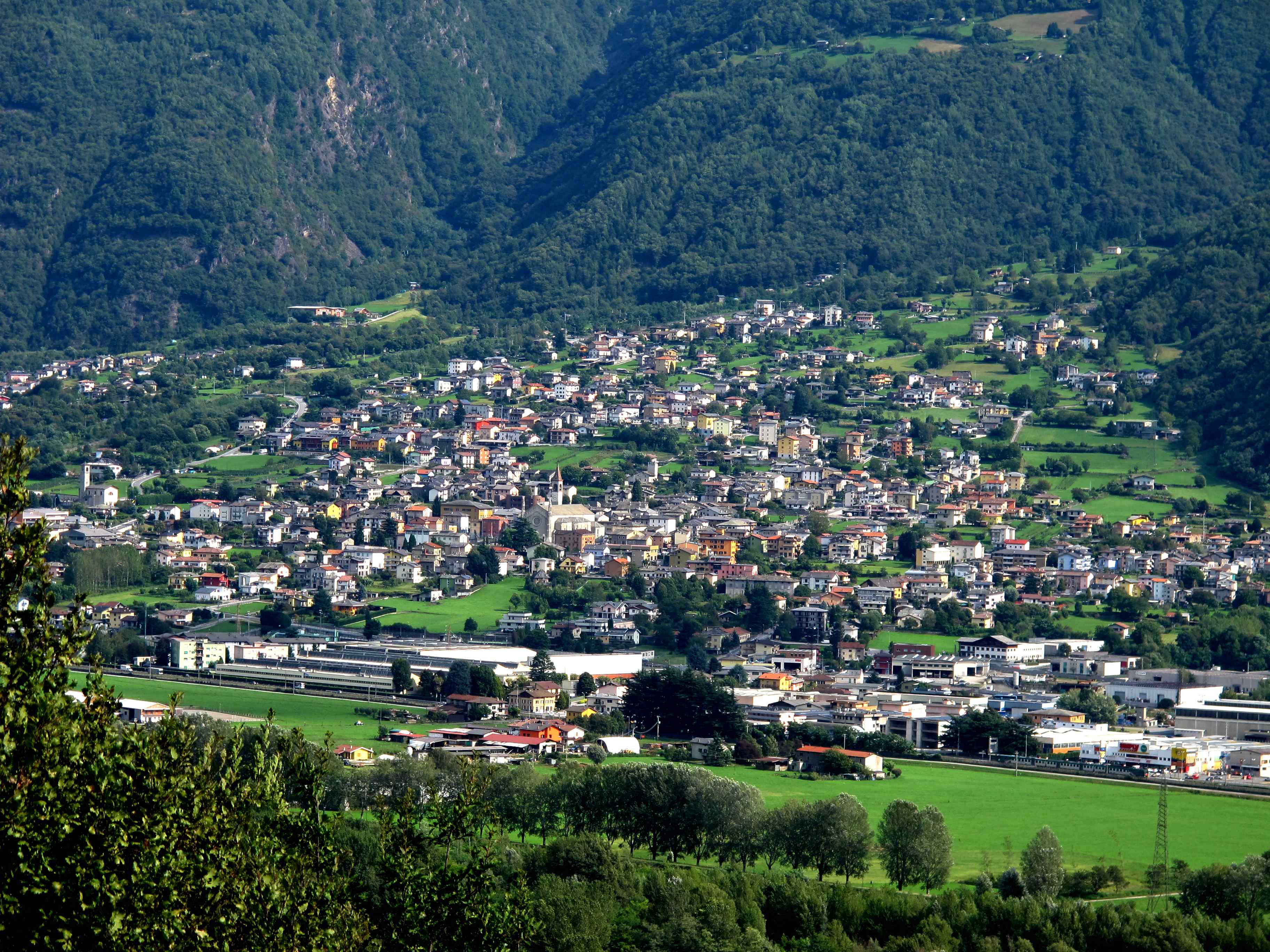

Talamona is located on the southern side of the Valtellina bordering the Adda river to the north. To the south, the municipality extends over the Orobie Alps up to the watershed that separates the two valleys of Roncaiola and Malasca from Val Tartano and Valle di Albaredo. The main peaks on the southern border of the country are Alpe Pisello and Alpe Pedroria. Since its origins - which the legend reports "many centuries before the Christian era" due to the occupation of the Celtic territory by a population of "Tyrrhenian or Etruscans" - it has built its own identity around the rural reality in which it is inserted. Its characteristic conformation, in fact, is based on the districts, around ten from the late nineteenth century, all referring to a church or a votive chapel. Religious sentiment was strongly rooted among the Talamonenese, who boasted the primacy of never having counted a single Protestant among them; indeed, the ancient statutes forbade the trade in grain with the inhabitants of the Rhaetian belt of the valley because they had been the last to convert to Christianity.
Talamona
Address: Via Gavazzeni, 7, 23018 Talamona Sondrio Italia
Phone: 0342670653
Site:
https://www.comune.talamona.so.it/hh/index.phpLocation inserted by
BBCC