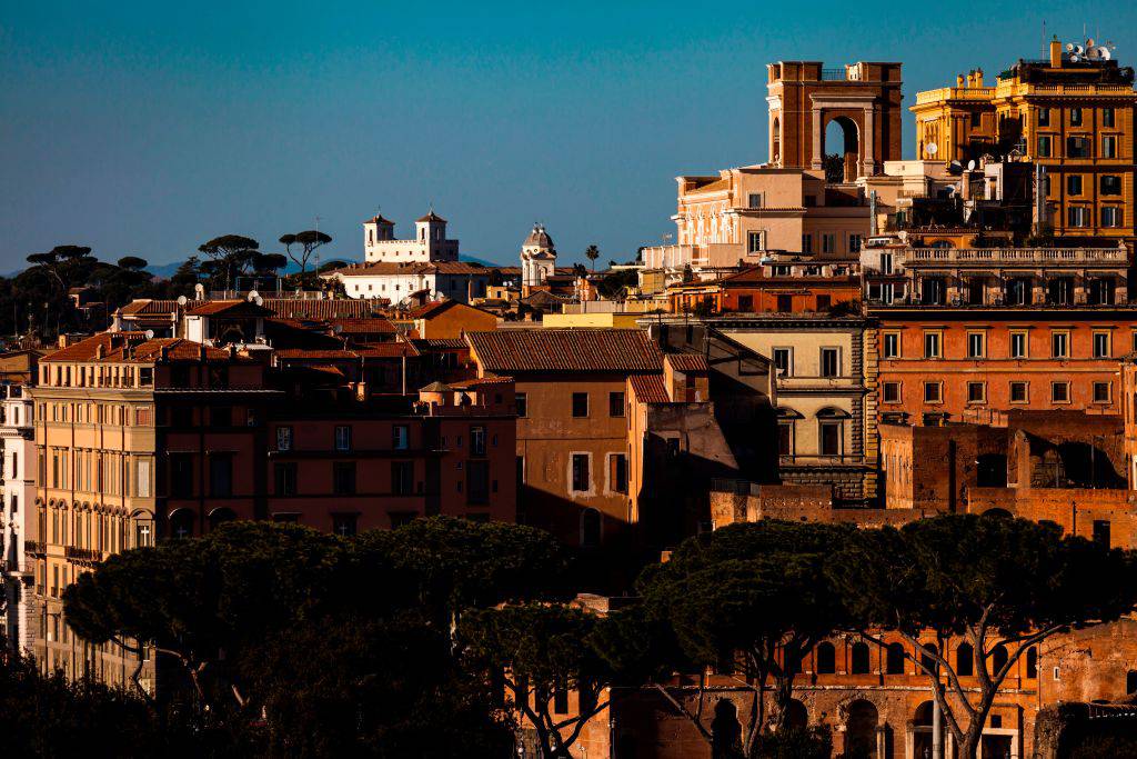


The Pigneto is an urban area of ??the Municipality of Rome V (formerly the Municipality of Rome VI) of Roma Capitale.

It is mainly part of the Q. VII Prenestino-Labicano district and, to a lesser extent, of the Q. VI Tiburtino district and is included in the urban planning area 6A Torpignattara.
It extends, like an isosceles triangle, from piazzale Labicano (just outside Porta Maggiore) between the Prenestina streets (right and left side up to the Rome-Sulmona-Pescara railway), Casilina (left side) and Acqua Bullicante. The vertices of this triangle can be identified in the Porta Maggiore (between Prenestina and Casilina), largo Preneste (between Prenestina and via di Acqua Bullicante) and piazza della Marranella (between Acqua Bullicante and Casilina).
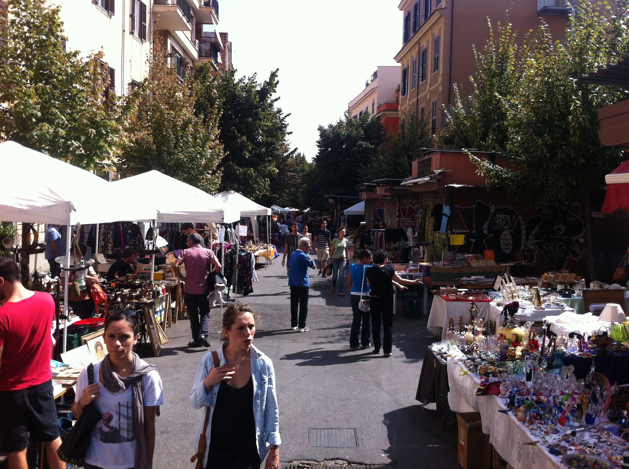
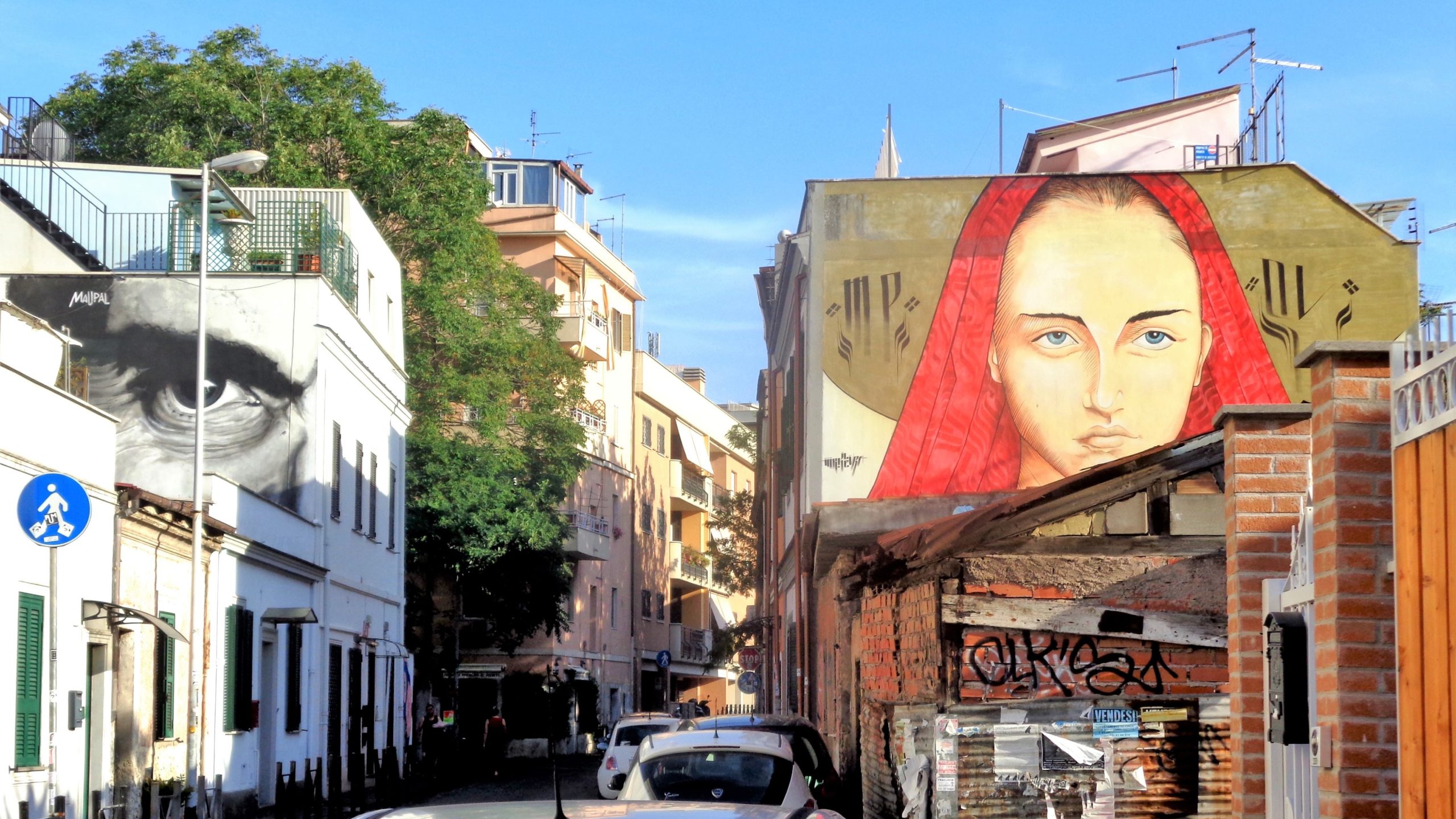
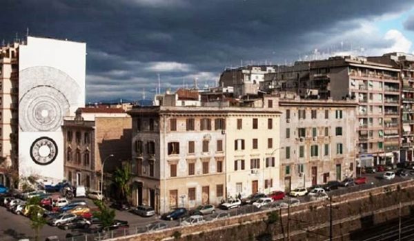
The main street is the homonymous via del Pigneto, which runs zigzagging from a few hundred meters outside Porta Maggiore (piazza Caballini) to about halfway along via di Acqua Bullicante, occupying a good portion of the entire territory of the seventh district. The part that extends to the left of via Prenestina, up to the Rome-Sulmona-Pescara railway, belongs to the 6th district, where the former SNIA Viscosa factory complex, which was abandoned in 1954, is located.

The Pigneto territory is fully included within the Casilino Ecomuseum in Duas Lauros.
Pigneto District
Address: Via del Pigneto
Phone:
Site:
Location inserted by
CHO.earth