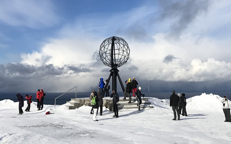


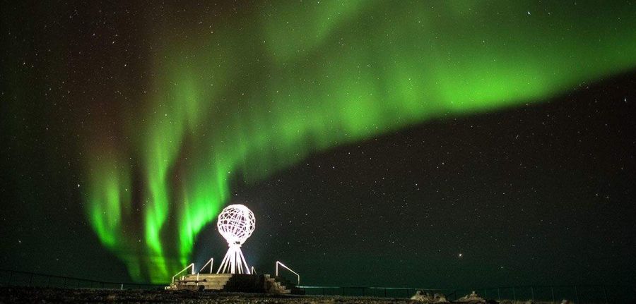
Nordkapp (North Cape) is the place in Northern Norway that everyone visits even though it is a tourist trap.
Boasting the title of northernmost point in continental Europe, it attracts orders of people on organized travel, something like 200,000 visitors every summer.
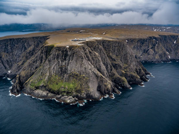
Closer to the North Pole than Oslo, Nordkapp is located on the island of Magerøya where there is a Radar Station which has been partially transformed into a Tourist Center.

In this place the sun never sets from mid-May to the end of July.

Long before other Europeans took an interest in the area, this was a sacrificial site for the Sami people, who viewed it as a place full of energy.
It was Richard Chancellor, the English explorer carried adrift in 1553 while looking for the Northeast Passage, who called it the North Cape.

But only much later, following a highly publicized visit by King Oscar II in 1873, did Nordkapp become a pilgrimage site for Norwegians.
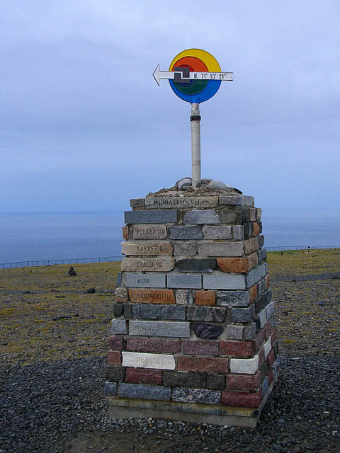
However, we reveal a secret: Nordkapp is not the northernmost point in Europe.

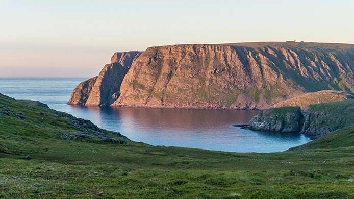
The title goes to Knivskjelodden, which can be reached with a hike of 18 km there and back; Cape Nordkinn is less spectacular and inaccessible to vehicles - but for that very reason even more appreciable.

Magerøya is an island that is part of the county of Troms og Finnmark, in the northernmost part of Norway; is included in the municipality of Nordkapp.
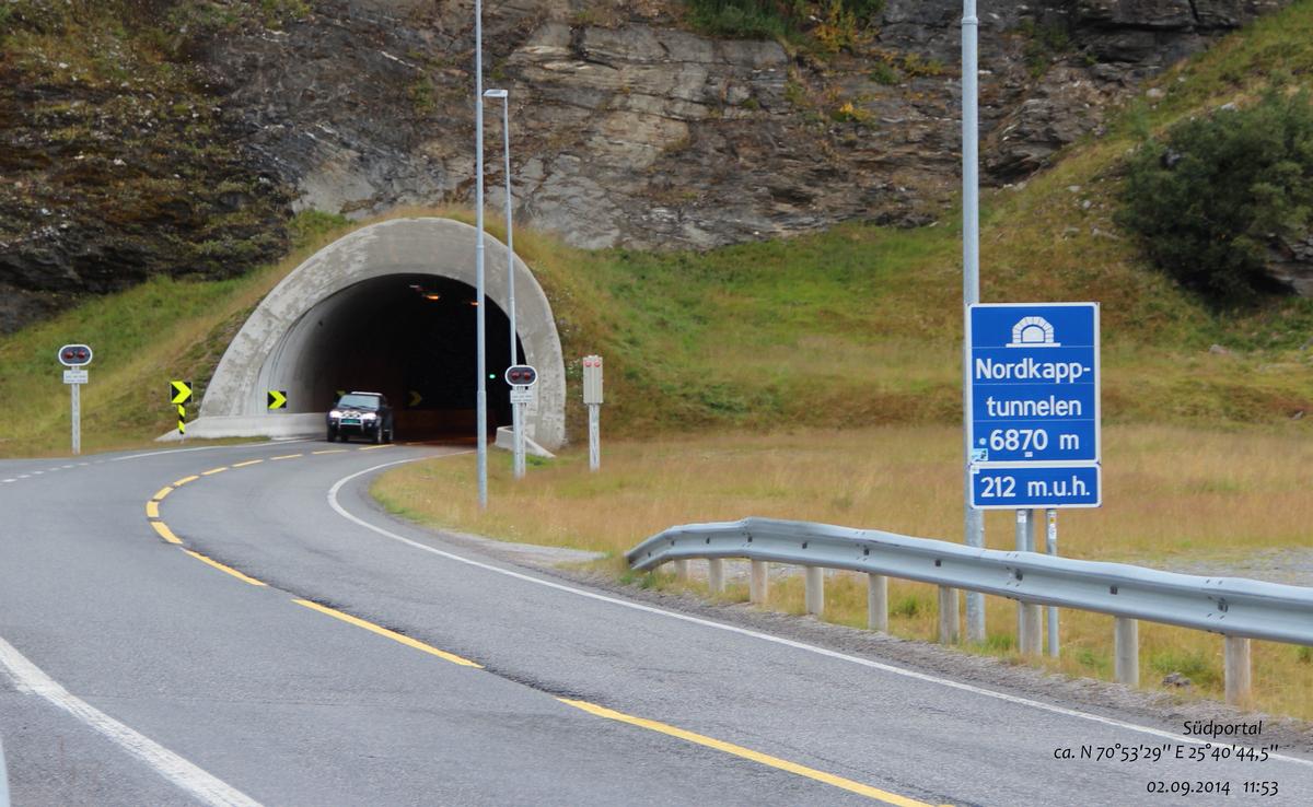
To facilitate tourist flow to the island, the North Cape Tunnel was built between 1993 and 1999, which is an underwater tunnel connecting the island to the Norwegian mainland.

At 6.87 km long and reaching 212 meters deep, it is the northernmost underwater tunnel in the world and the third longest in Europe.
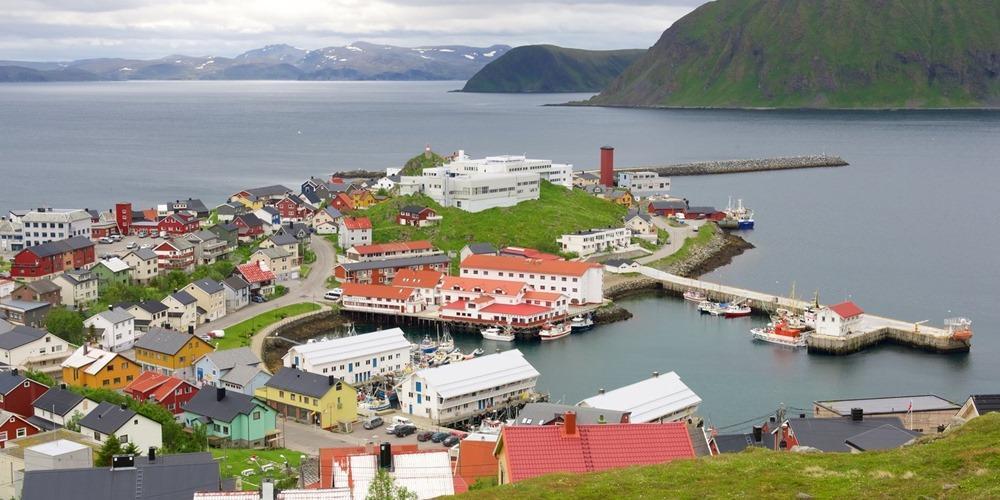
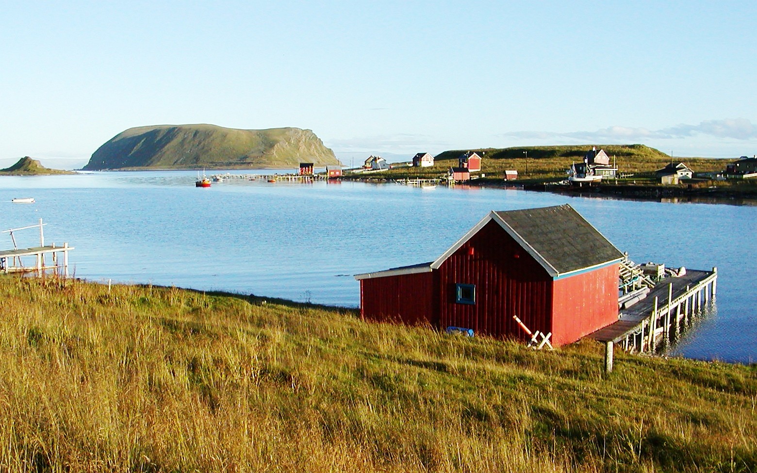
The main inhabited center of the island is the southern one of Honningsvåg, other inhabited centers are located along the coast and are Gjesvær, Skarsvåg, Kamøyvær and Nordvågen.
The main road in Magerøya is the European Road E69.

The road is 129 km long and starts from the North Cape Tunnel; 4 are the tunnels that cross the rugged territory of the island; in total, out of 129 km, about 15.5 are underground or submarine. In winter, the northernmost part of the road is closed.
The island also has an airport, Honningsvåg-Valan Airport.

Nordkapp - Coastal Radar Magerøy - Virtual Tour 360°
Address: 9764 Nordkapp
Phone:
Site:
https://www.nordkapp.no/en/Location inserted by
CHO.earth