


The territory extends on the transition point between the Venetian plain and the hilly area above which anticipates the Belluno pre-Alps (Asolani hills).

So if the southern half, with Villa d'Asolo and Casella, is completely flat, with altitudes ranging between 80 and 100 m above sea level. (the minimum, 74 m, is found on the border with Spineda di Riese Pio X), the northern half is characterized by the presence of modest reliefs that culminate with the 379 m of the San Martino hill, to the northeast.

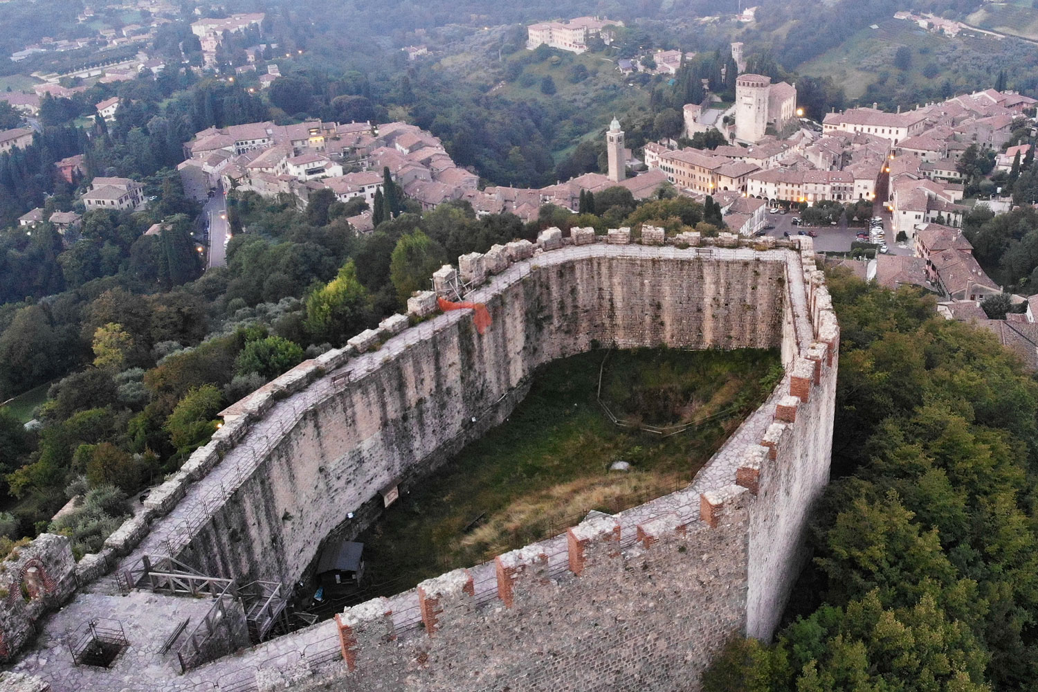
The capital itself is perched in the hills, overlooking the plain below, and the town hall is at an altitude of 210 m. The hills of the western area where Pagnano stands (Cogorer hill, 176 m) are less elevated.

The only major watercourse is the Musone torrent which rises a little further north, in the municipality of Monfumo, and continues between Pagnano and the capital, then entering the plain. Some sources are worth mentioning (Fornet source, Breda fountain).

The toponym, in Latin Acelum, has been attested since the 1st century AD. Scholars have identified the Indo-European root * ak, or "pointed place", referring therefore to the hilly nature of the territory or, more particularly, to the hill on which the fortress stands.
Asolo
Address: Piazza Gabriele D'Annunzio
Phone: 0423529046
Site:
https://www.asolo.it/Location inserted by
Culturalword Abco