


The first appearance of the toponym dates back to 9 September 844, when the term Manessicelles appears in the testament of the Archdeacon Pacific with the meaning, according to Borsatti, of the sepulchers of the dead: this meaning would be corroborated by the discovery of some Etruscan-style burials in the surrounding area up area.

Over the centuries many documentary variations followed one another: Manascicines (932), Malesicine (1023), Malesisicis (1154), Malesisinum (1159), Malasilice (1225), Malsexeno (1422), Malsesene (1611) to name just a few reported by Maffezzoli.
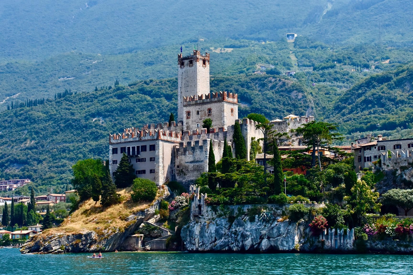
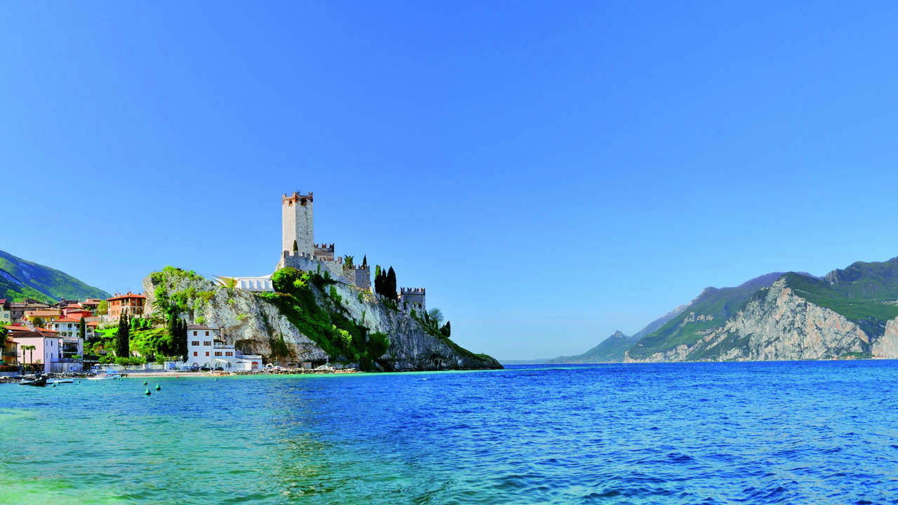
The etymology of the toponym is however uncertain, revolving around the interpretation of Malae silices or Mala silex as "hostile stone" or "bad stone", probably referring to the morphology of the territory characterized by steep mountains rising on the lake, or as " Bad cobbled street "of Roman origins.
During the winter, -9 was reached up to a maximum of 5 degrees. Summer is hot with temperatures reaching 30 ° relieved by the two main winds, the Ora blowing from south to north and the Pelèr blowing in the opposite direction. Malcesine is about 60 kilometers from Verona.

Compared to the capital, it is in a north-west position and is the northernmost municipality of the Veronese coast of Lake Garda and of the province itself. The municipality borders two other regions, Lombardy (province of Brescia) and Trentino-Alto Adige (province of Trento).
The municipal area has a strong difference in height, as it starts from the height of the lake (89 m s.l.m.) and arrives on the crest of Monte Baldo (2,218 m s.l.m.), covering an area of 69.29 km². On its territory, in the hamlet of Cassone flows one of the rivers that can be considered the shortest in the world: the Aril river, about 175 meters long.
Malcesine
Address: Piazza Statuto, 1, 37018
Phone: 045 658 9911
Site:
https://www.comunemalcesine.it/Location inserted by
Culturalword Abco