_-_angela_ventin.jpg)


Home to the Alta Valsugana and Bersntol Valley Community, at the mouth of the Fersina Valley and at the beginning of the Valsugana, the town is dominated by the historic Castel Pergine. According to the average data of the three-year period 1961-1990, the average temperature of the coldest month, January, stands at 1.4 ° C, while that of the hottest month, July, is +22.6 ° C. The average rainfall annual exceed 900 mm, distributed on average in about ninety days, with a peak in late spring and summer and a relative winter minimum.
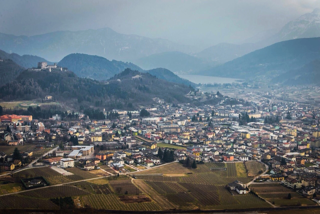
The city is located in the middle of Trentino, east of the Adige auction, at 490 m a.s.l. and 12 km east of Trento. The municipality of Pergine Valsugana, which covers an area of ​​5439 hectares, occupies the vast basin at the foot of the Tegazzo hill and the valley floor of the Fersina stream.

The territory of Pergine was already inhabited by the Reti in prehistoric times; housing settlements have been found in the hills of the Perginese, in particular in the Montesei di Serso. However, settlements at the bottom of the valley are not excluded. Furthermore, it is not excluded that the probable Roman castelliere, which was to rise on the Tegazzo hill, was even older, from the Rhaetian era.
Pergine Valsugana
Address: Piazza Municipio, 7, 38057
Phone: 0461 502111
Site:
http://comune.pergine.tn.itLocation inserted by
Culturalword Abco