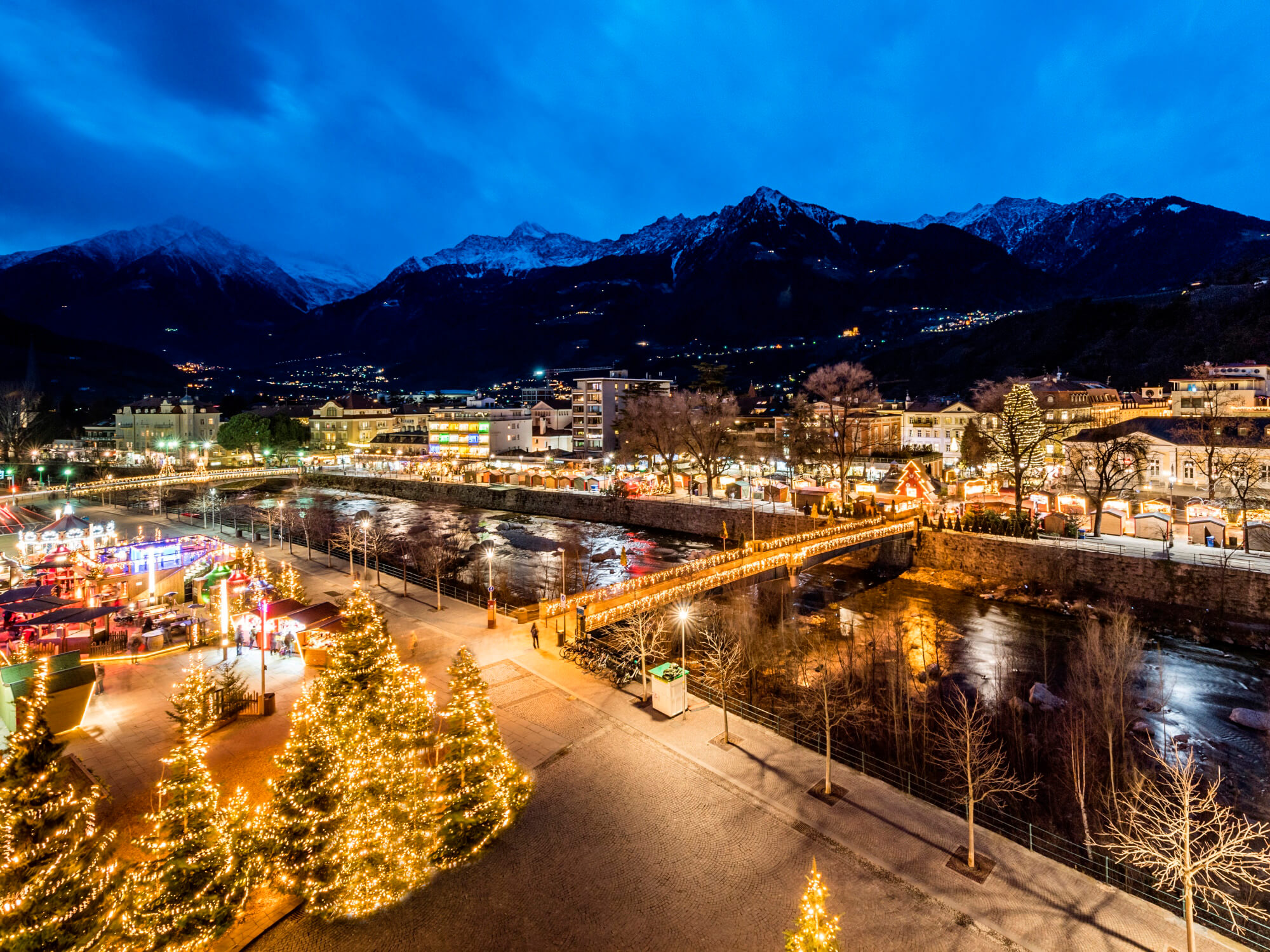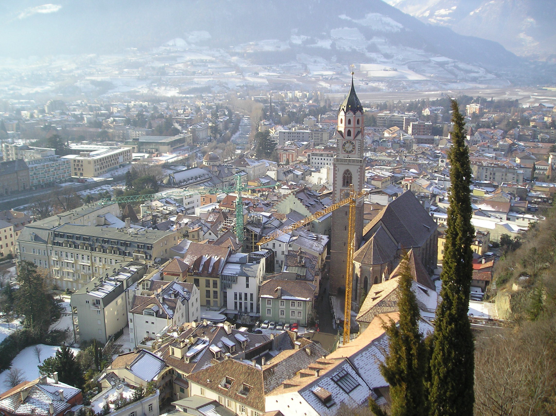


Capital of the district community of Burgraviato, it is surrounded by mountains (1500–3330 m) and is located in the valley at the beginning of four important valleys: Val Venosta, Val Passiria, Val d'Adige and Val d'Ultimo. Crossed by the Passirio stream that flows into the Adige, it is located on the slopes of the Tessa Group (up to 3 480 m s.l.m., border with Austria) and of the Salto Plateau (up to 2 800 m). To the south Merano is 30 km from the provincial capital, Bolzano, to which it is connected by a 4-lane highway, known as "MeBo", and by a railway line. To the west begins the Val Venosta, with the Val Venosta railway, to the south-west the Val d'Ultimo and to the north-east the Val Passiria.

Considered a health resort since the 19th century, Merano was initially oriented towards tourism for the elderly, thanks to the mild climate and the quiet that characterize it. In the twentieth century and particularly in the last two decades, this trend has changed mainly thanks to a more varied offer and the arrival of national and international tourism that has reached and exceeded that of the German-speaking countries, significantly reducing the average age of its visitors.

In Roman times the area of ​​present-day Merano is called Maia and is located on the border between the province of Rezia and the Regio X Venetia et Histria, on the northern edges of the municipality of Trento. In late antiquity the castrum Maiense developed, a fortified settlement located starting from the fortress of the current San Zeno castle (Zenoburg). In the chapel of the castrum St. Valentine of Rezia (at the end of the 5th century) and St. Corbinian of Freising (around 730) were buried. Instead, the first mention of the name of Mairania is dated 857.
Merano
Address: Via Portici, 192, 39012, Burgraviato
Phone: 0473 250111
Site:
http://gemeinde.meran.bz.itLocation inserted by
Culturalword Abco