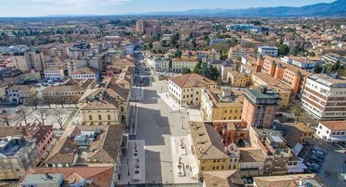


The territory of Montebelluna is largely flat, with altitudes ranging from 69 m s.l.m., found south of San Gaetano, to 144 m, north of Pederiva.

The landscape is then characterized by the presence of two hills, including the western end of Montello (where the maximum altitude is observed, 343 m) and the more modest Capo di Monte (or Montebelluna Alta, or even the hill of Mercato Vecchio, 199 m). A natural corridor passes between the two reliefs (along which Feltrina passes), once the original riverbed of the Piave.

The climate is a transition between that typical of the Po valley, characterized by high humidity, accentuated winter thermal inversions and persistent mists, and the more temperate but rainy one of the hilly foothills. In high pressure conditions, during the winter period, the Montebelluna area enjoys a large number of sunny days. Fog is also an infrequent phenomenon, particularly in the central and northern area of ​​the municipal area.

The first traces of human activity date back to the Stone and Bronze Age (Middle Paleolithic). The birth of a real settlement, however, occurred around the ninth century BC. Its development was favored by the strategic geographical position at the mouth of the Piave valley, a link between the plain and the pre-Alpine area.
Montebelluna
Address: Corso Mazzini, 118, 31044
Phone: 0423 6171
Site:
comune.montebelluna.tv.itLocation inserted by
Culturalword Abco