


Among the main centers of the former province of Udine, according to regional law 26/2014 "Reorganization of the Region system - Local autonomies of Friuli Venezia Giulia", it is the capital of the UTI "Riviera - Bassa Friulana", of which it is part with the municipalities of Carlino, Lignano Sabbiadoro, Marano Lagunare, Muzzana del Turgnano, Palazzolo dello Stella, Pocenia, Porpetto, Precenicco, Rivignano Teor, Ronchis and San Giorgio di Nogaro.

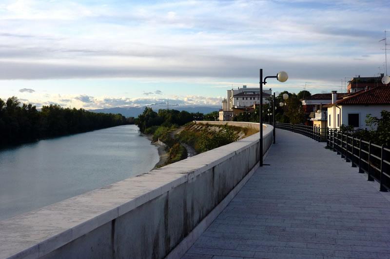
The municipality is located in the low Veneto-Friuli plain, on the left bank of the lower course of the Tagliamento river and is part of the historical-geographical region of the Bassa Friulana. To the west, the Tagliamento river constitutes most of the border with Veneto (San Michele al Tagliamento). To the south, the municipality is lapped by the Litoranea Veneta navigable canal, which separates it from Lignano Sabbiadoro. To the southeast, in the locality of Aprilia Marittima, the municipality overlooks the Marano Lagoon for a while. The locality of Isola Picchi, belonging to the municipality of Latisana, is located on the right bank of the Tagliamento and is therefore accessible only from the Veneto region, thus constituting a quasi-enclave. The municipal area consists of a strip of land extended north-south for about 15 km and on average 2-3 km wide.
The Lower Friulian region, of which Latisana is a part, has been inhabited since prehistoric times, as evidenced by the discovery of Neolithic human remains (VI-V millennium BC) which took place in 1992 in Piancada, in the nearby town of Palazzolo dello Stella.
Latisana
Address: Piazza Indipendenza, 74, 33053
Phone: 0431 525111
Site:
http://comune.latisana.ud.itLocation inserted by
Culturalword Abco