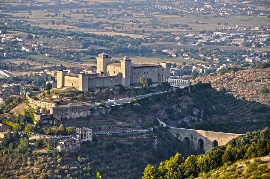


Spoleto is located at the southern end of the Umbrian Valley, a vast alluvial plain, generated in prehistoric times by the presence of a vast lake, the Lacus Umber, which dried up definitively in the Middle Ages, after its swamping, with reclamation works. The city developed on the Sant'Elia hill, a low hilly promontory on the slopes of Monteluco, near the Clitunno river, and further down to the banks of the Tessino torrent; to the east it is surrounded by the mountains that border Valnerina.

The toponym of Spoleto would derive from the conjunction of the Greek words Spao and Lithos (Σπαω-λιθος), or stone-detached: in other words the Sant'Elia hill (or "the sun hill") on which the city was built would have been interpreted like the rest of a landslide detached from Monteluco, but this theory has never been confirmed.

Spoleto has been an inhabited center since prehistoric times. The first evidence of settlements dates back at least to the final bronze age (XII-XI century BC): the finds of greatest interest came to light at the top and on the slopes of the Sant'Elia hill, where the Albornoz Fortress will rise many centuries later .
Spoleto
Address: Piazza del Comune, 1, 06049
Phone: 0743 2181
Site:
http://comune.spoleto.pg.itLocation inserted by
Culturalword Abco