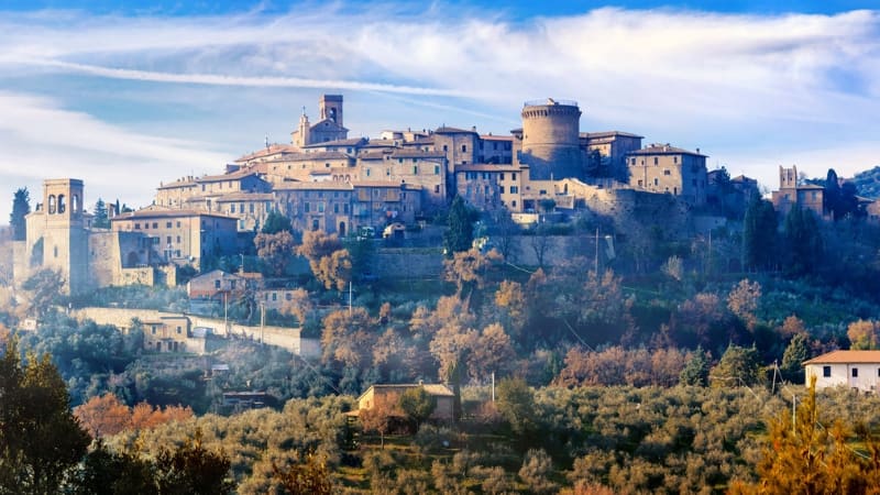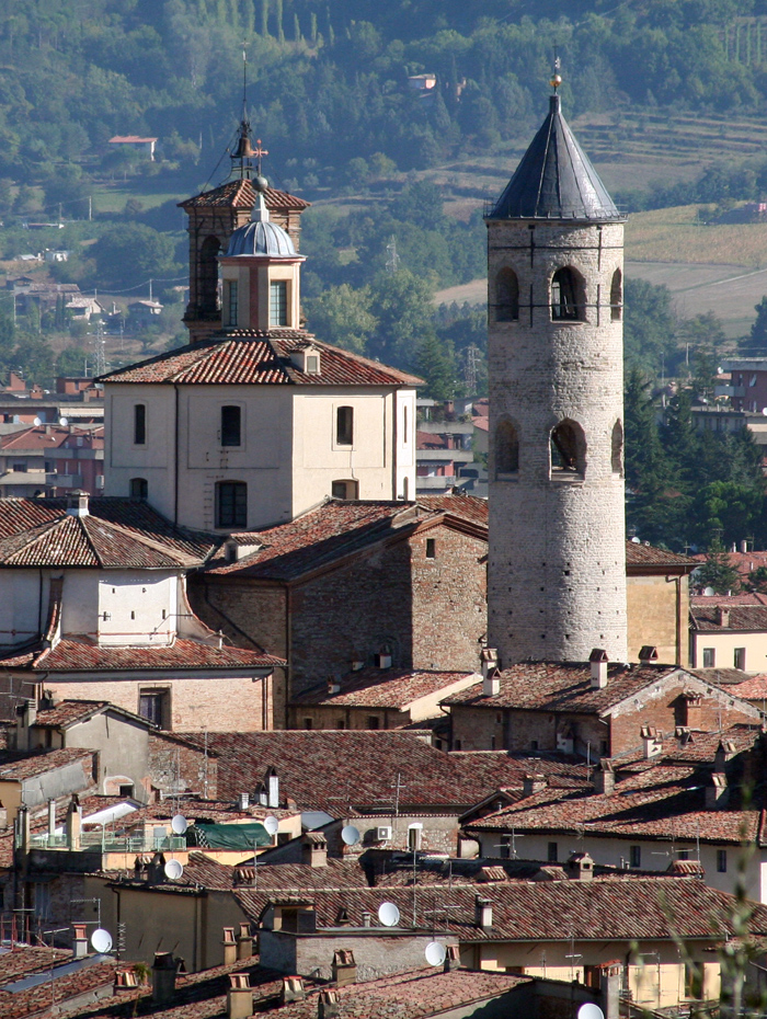


Located in the Umbrian part of the Upper Valtiberina, the municipality has an exclave between the municipalities of Apecchio (PU) and Sant'Angelo in Vado (PU) in the Marche region, corresponding to the area of ​​Monte Ruperto with an extension of about 500 hectares with a zero population. With an area of ​​387 km², it ranks 20th among the 100 largest municipalities in Italy. The center has a height above sea level of 288 meters, while the municipal area has a minimum height of 248 meters and a maximum height of 1,006 meters.

The original settlement was founded by the Umbrians on the left bank of the Tiber near the territory subject to control by the Etruscans. Starting from the third century BC due to the Roman expansion the city became federated of Rome and was later included in the Regio VI Umbria. From the 1st century BC it became a Roman municipality, whose most illustrious patron was Gaius Pliny Cecilio Secondo, called Pliny the Younger, who, according to what stated in his letter, erected a temple, completed in 103 or 104, of which the location is unknown.

Città di Castello is located in the upper Tiber valley, which is internal to the central-northern Apennines. Nonetheless, thanks to the low altitude, given that the entire built-up area extends between 270 and 310 m.s.l.m. around, and to the influences coming from the Tyrrhenian Sea, the city enjoys a sublittoral temperate climate [4] with moderately cold winters. The average temperature in January, the coldest month, based on the averages for the period 1985-2016 is 4.3 ° C. Summers are characterized by high but not torrid temperatures, and their seasonal average, also based on the period 1985-2016, is 21.7 ° C.
Città di Castello
Address: Piazza Gabriotti, 1, 06012
Phone: 075 85291
Site:
https://www.cdcnet.net/Location inserted by
Culturalword Abco