


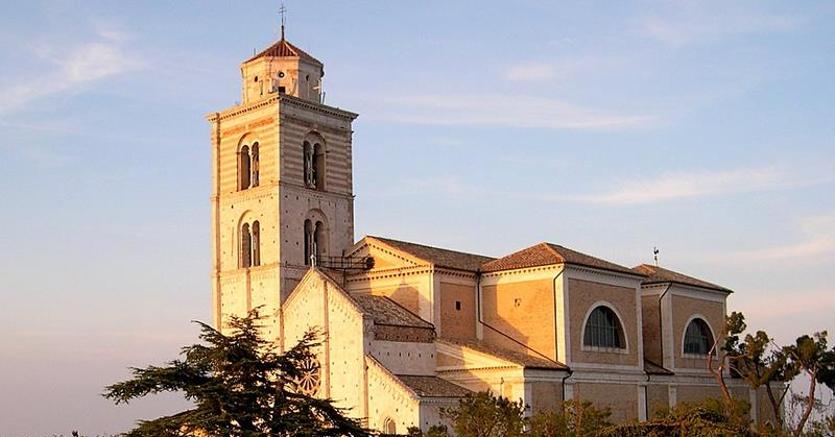
Fermo rises on the summit and along the slopes of Colle Sàbulo (319 m s.l.m.), so called probably because it has a predominantly arenaceous formation (in Latin sàbulum = sand). Colle Sàbulo is dominated by the bulk of the Cathedral dedicated to Santa Maria Assunta; it is 6 km from Porto San Giorgio and 40 km from Macerata. It is practically equidistant from Ascoli Piceno (67 km) and Ancona (68 km).
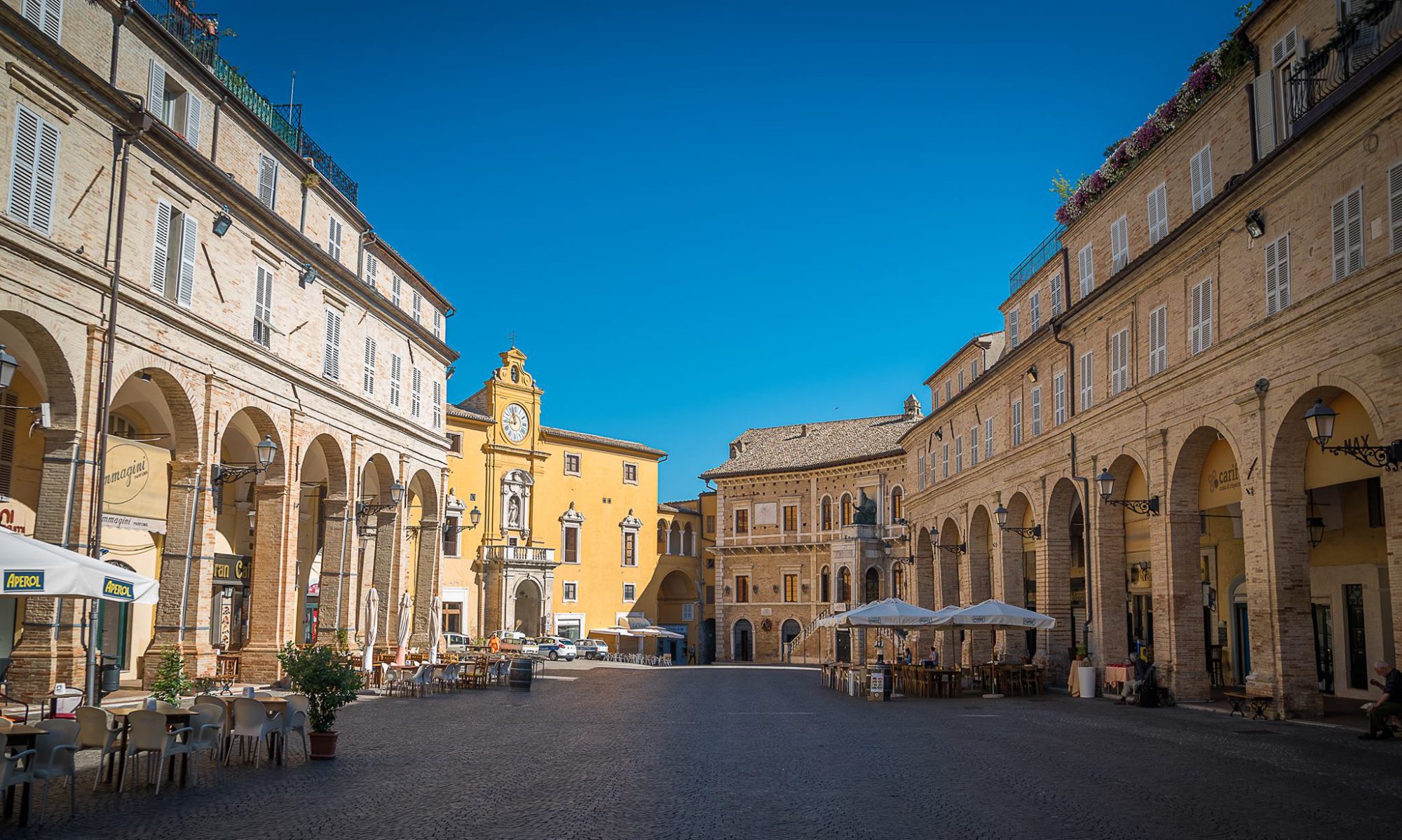
Other distances: from Pescara 90 km, from Perugia 160 km, from Rome 250 km, from Bologna 270 km, from Florence 300 km, from Naples 350 km and from Milan 480 km. The city is divided into two parts: the historical part, grown around and on the top of the Sabulo hill, which has remained almost intact over the centuries with its splendid medieval appearance, and a new part.
The territory of Fermo is delimited to the south by the San Biagio ditch and by the ridge that crosses the Madonna Bruna locality, and to the north by the Tenna river, with various areas beyond the river (eg Campiglione, Villa San Claudio). Fermo has 3 km of coastline south of Porto San Giorgio (Marina Palmense) and 4 km of coastline north (Lido di Fermo, Casabianca and Lido San Tommaso). Some municipal areas are exclaves: Boara (0.3 km², bordering Montegiorgio to the north, Belmonte Piceno and Grottazzolina to the south, and Magliano di Tenna to the east) and Gabbiano (5 km², bordering Mogliano and Francavilla d 'to the north Ete, to the south with Massa Fermana and to the east with Montegiorgio; on the Mogliano side, this geographical island borders the province of Macerata). The territory is dotted with houses, according to the use of the agricultural economy of the sharecropping, which provided for the presence of a farm family on each plot of land even if formed by a few hectares.
Fermo
Address: Via Giuseppe Mazzini, 4, 63900
Phone: 0734 2841
Site:
http://comune.fermo.itLocation inserted by
Culturalword Abco