


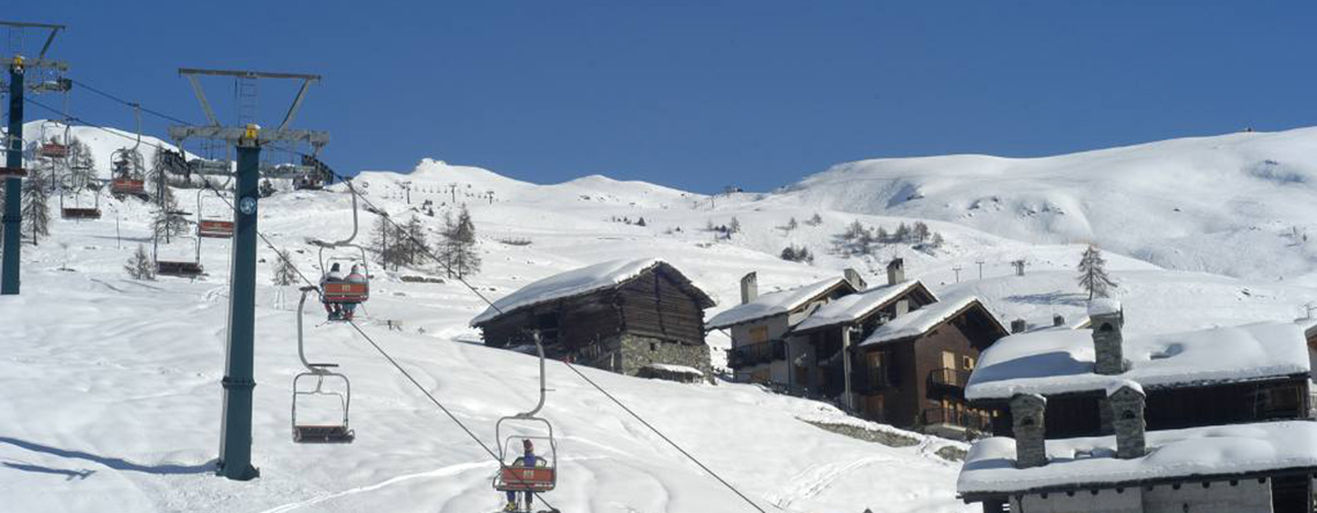
The territory of Chamois is located in the middle Valtournenche. It includes almost the whole valley of the homonymous torrent and of the Saverou (or Soverou), tributaries of the Marmore torrent, and the Rû de la Cleyva-Bella plateau. The peaks of the mountains included in its territory exceed 2,500 meters, and the highest point of the municipality is Becca Trecare (3,033 m). Chamois is bordered to the north with the municipality of Valtournenche, to the west with that of Antey-Saint-André, to the south with that of La Magdeleine and to the east with that of Ayas.

Given the altitude, Chamois has a typically alpine climate. The winters are cold and the rainfall is exclusively snowy. The southern exposure contributes to slightly mitigating the winter days. Summers are cool and with frequent stormy episodes.
It is the only municipality in Italy on the mainland that cannot be reached by car, but only on foot or by bicycle (via a mule track from Buisson), by off-road vehicle along the farm road from La Magdeleine, by cable car departing from Buisson, or with small airplanes .
Chamois
Address: Frazione Corgnolaz, 11, 11020
Phone: 0166 47134
Site:
http://comune.chamois.ao.itLocation inserted by
Culturalword Abco