San Giuliano Milanese
San Giuliano Milanese after the Second World War, San Giuliano experienced an impetuous demographic and building development, favored by its proximity to Milan and its position along the Via Emilia.

Between the hamlets of Civesio and Sesto Ulteriano, near the motorway exit, a vast area has arisen used for production and logistics settlements. At the beginning of the sixties it housed the Olivetti Electronic Research Laboratory: right here the company saw its first developments towards electronics, in collaboration with the Pisa office, in the Barbaricina district. In 2000 San Giuliano Milanese was awarded the title of city.

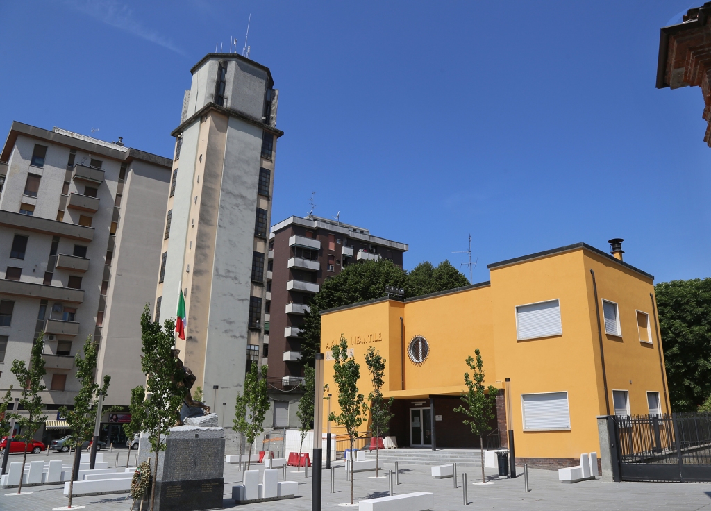
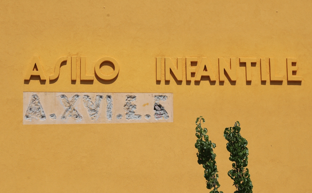
The Aqueduct Tower (Torre Civica) with its volume and characteristics characterizes the layout of the main square of San Giuliano Milanese, together with the Palazzo Comunale and the kindergarten of the twenty-year period.
It is a tower architecture made up of three rectangular floors on which the square-plan tower rises.
Map: San Giuliano Milanese
Address: Piazza della Vittoria, 4, 20098 San Giuliano Milanese Milano Italia
San Giuliano Milanese (MI) Lombardia
Latitude: 45.39515397757979
Longitude: 9.284605979919434
Site: ...
vCard created by: BBCC
Currently owned by: BBCC
Type: City
Function: Public place
Creation date: 25-08-2023 09:18
Last update: 01/09/2023