Former Military Railway Ostiglia-Treviso
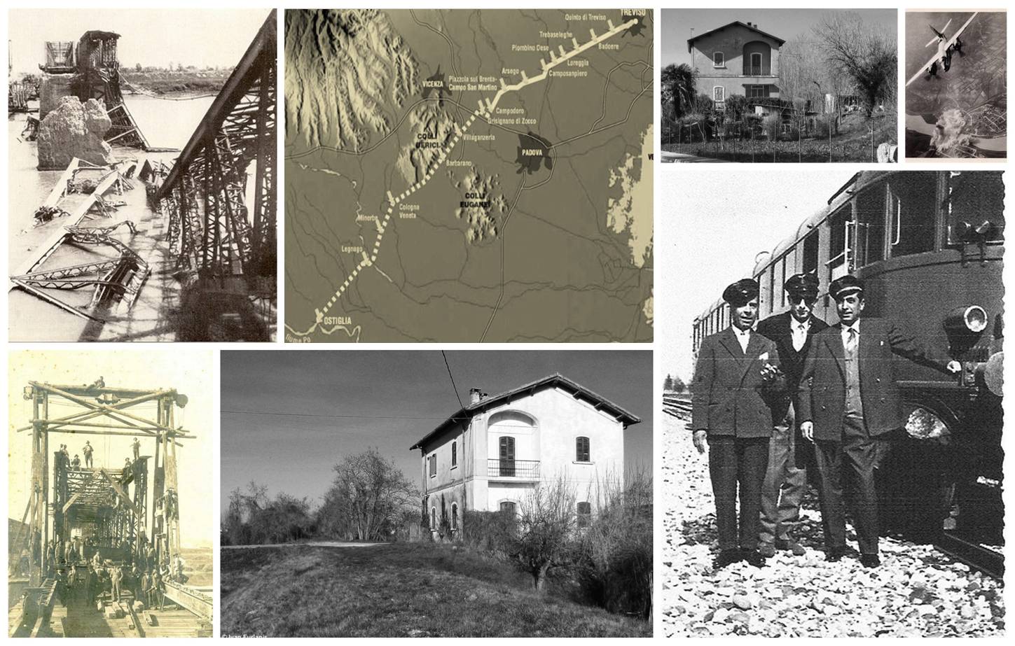
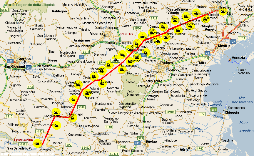
The Ostiglia-Treviso railway was an Italian state-owned railway line that connected Ostiglia to Treviso, crossing the whole of the Veneto region. It was 116.20 kilometers long; for tariff purposes, the total virtual mileage was 120 km.
The railway was conceived for the double track and to pursue this type of project the necessary expropriations were carried out, however it was armed and operated on a single track. All the minor works of art and the embankments were however prepared for the double track.
The Treviso Centrale-Treviso Porta Santi Quaranta section was placed alongside the double track of the Vicenza-Treviso railway and the simple track of the Treviso-Montebelluna and therefore had a progressive distance separated from that of the aforementioned lines.

One of the particular innovations was the small number of level crossings with the intersections of the main roads (state and provincial) and the extensive use of overpasses and underpasses, as in the Piacenza-Cremona railway (28/10/1933) which was all deprived until the junction on the Cremona - Borgo San Donnino.
 ???????
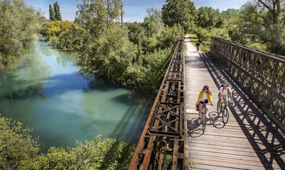
It has been converted into a cycle path.
Video: Former Military Railway Ostiglia-Treviso
Map: Former Military Railway Ostiglia-Treviso
Address: Ex Ferrovia, Ciclabile, Ostiglia-Treviso
Treviso (TV) Piemonte
Latitude: 45.62011588486632
Longitude: 12.063159942626953
Site: http://ostigliatreviso.altervi...
vCard created by: CHO.earth
Currently owned by: CHO.earth
Type: Structure
Function: Railroad
Creation date:
Last update: 07/07/2022