Ostia Antica Archaeological Park
Ostia was a city of the Latium vetus, port of the city of Rome, located near the mouth of the Tiber river.
First Roman colony founded in the 7th century BC. from the king of Rome Anco Marzio, according to the traditional story, it developed particularly in the imperial era as a commercial and port center, closely linked to the annona (supply of grain for the capital).
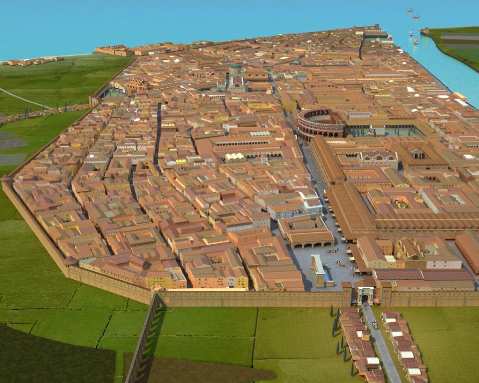
It remained a residential and administrative center after the construction of the ports of Claudius and Trajan, but rapidly declined in the late antique period, replaced by the port center of Porto, and was abandoned in the early medieval period.
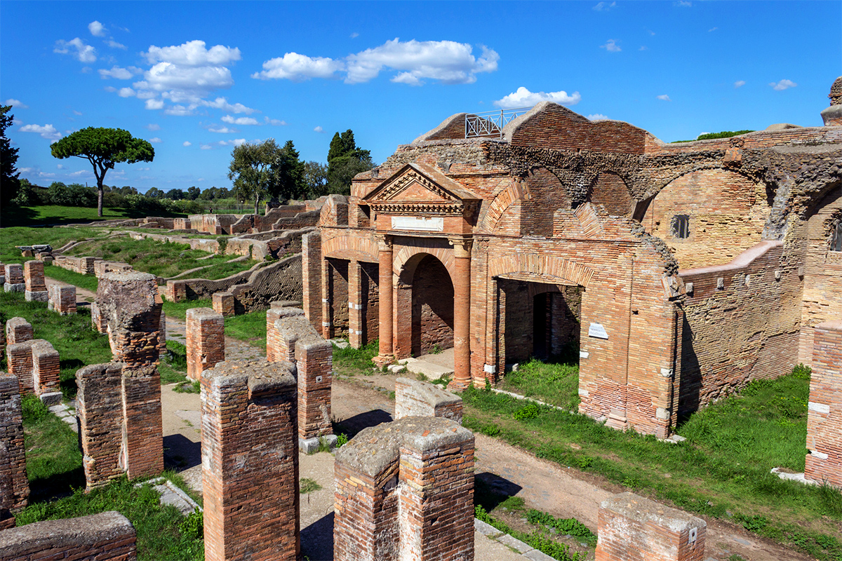
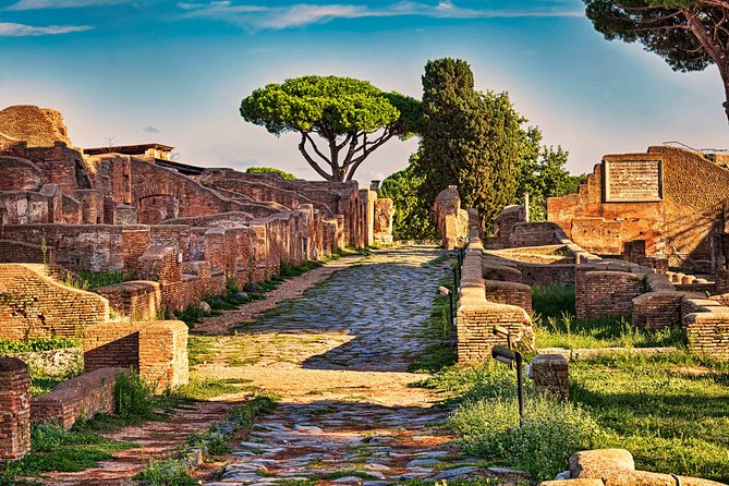
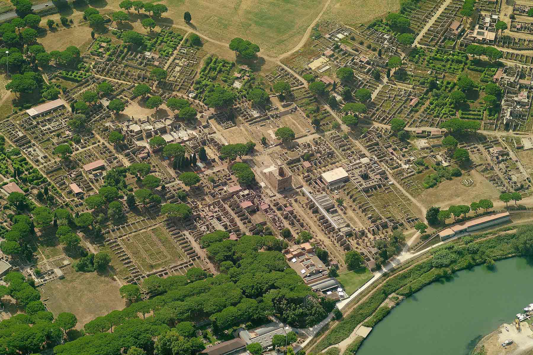
The ruins of the city were excavated from the beginning of the 19th century: together with the public monuments, numerous residential houses and productive structures have been preserved, making them an important testimony of ancient daily life.

In 2014, the excavations of Ostia and its museum were the sixteenth most visited Italian state site, with 332,190 visitors and a total gross income of 1,086,099.00 Euros.
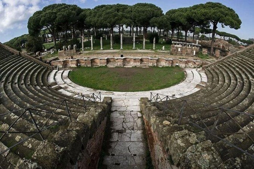
Ostia Antica together with Pompeii is the largest archaeological site on the planet with an area of ??150 hectares. [6] and only 40% have been unearthed and more than half of the city is still buried.

Video: Ostia Antica Archaeological Park
Map: Ostia Antica Archaeological Park
Address: Viale dei Romagnoli, 717, 00119
Roma (RM) Lazio
Latitude: 41.7553692
Longitude: 12.2905225
Site: http://www.ostiaantica.benicul...
vCard created by: Stefano Vigolo
Currently owned by: Stefano Vigolo
Type: Area
Function: Archaeological site
Creation date:
Last update: 02/01/2023